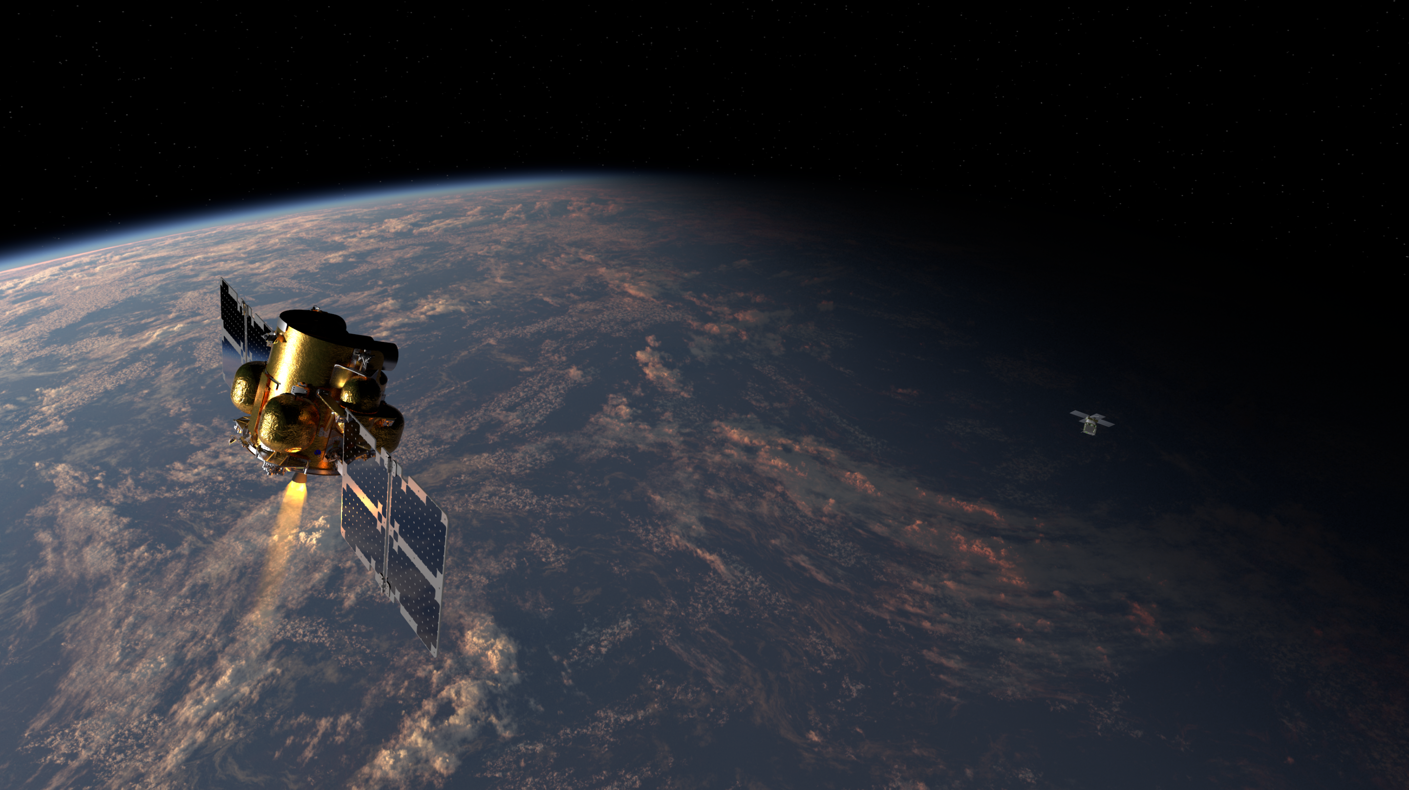
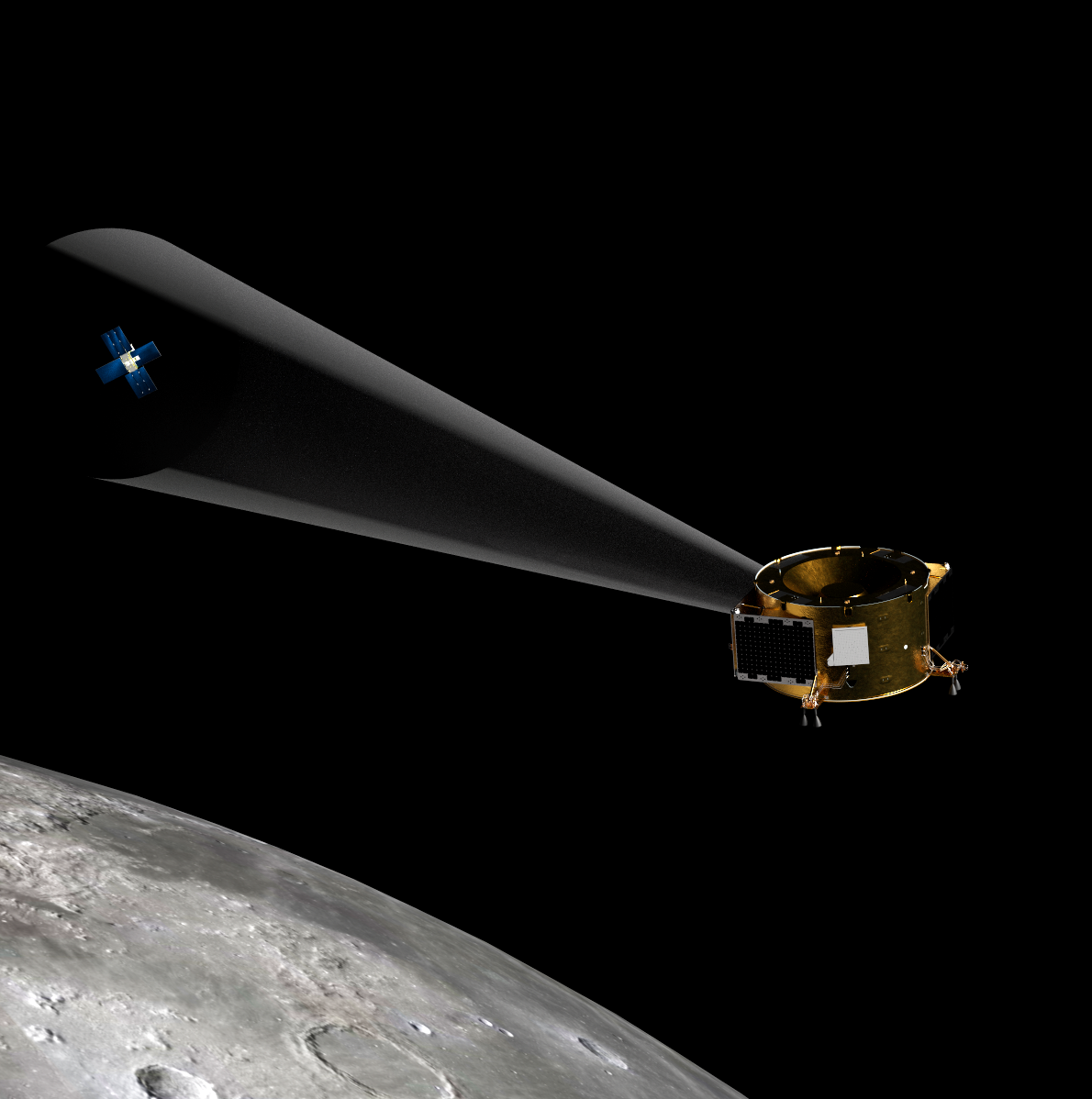
Vision Navigation & Autonomy
Firefly’s AI-powered vision systems enable spacecraft to autonomously navigate, land, and track their orientation in space environments where Global Navigation Satellite Systems (GNSS) and GPS are unavailable. Proven during Firefly’s historic Blue Ghost Mission 1, our commercially available vision systems drive real-time spacecraft decision-making, enabling automated docking, proximity operations, and hazard-free landings on the Moon, Mars, and beyond.
Cameras & AI Compute Hardware
Firefly’s high-resolution spacecraft cameras and AI compute hardware, formerly known as Space-ng Sol3, hosts our vision software to enable the next generation of spacecraft autonomy. This commercially available vision hardware combines advanced optical sensors, high-performance neural engine processing, and machine learning algorithms to autonomously execute the most challenging operations in space.
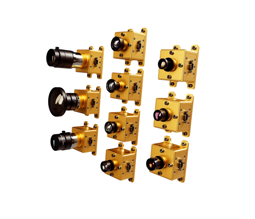
Camera Modules
Highly-configurable camera modules to capture, transfer, stream, and visualize in-space imagery and video.
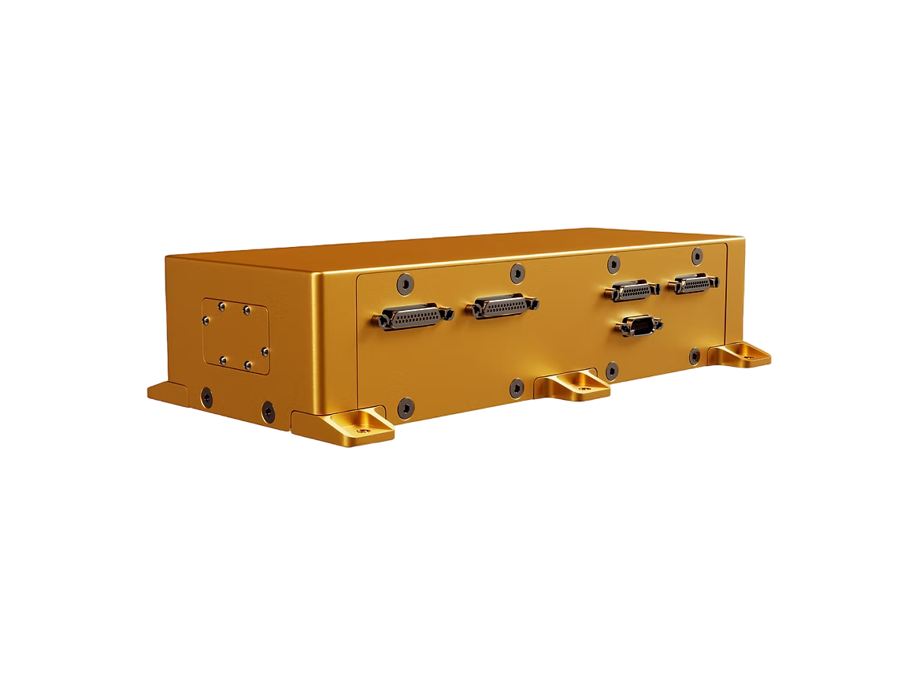
Flight Base Unit
Lightweight (<0.75 kg) flight base unit providing interface, compute, and power for up to 12 cameras.
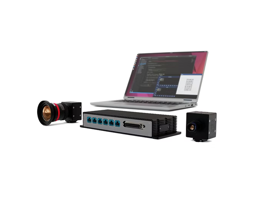
Hardware/Software Development Kits
Development kits with identical functionality as flight units to prototype and test cameras prior to integration.
Camera Modules
Highly-configurable camera modules to capture, transfer, stream, and visualize in-space imagery and video.
Flight Base Unit
Lightweight (<0.75 kg) flight base unit providing interface, compute, and power for up to 12 cameras.
Hardware/Software Development Kits
Development kits with identical functionality as flight units to prototype and test cameras prior to integration.
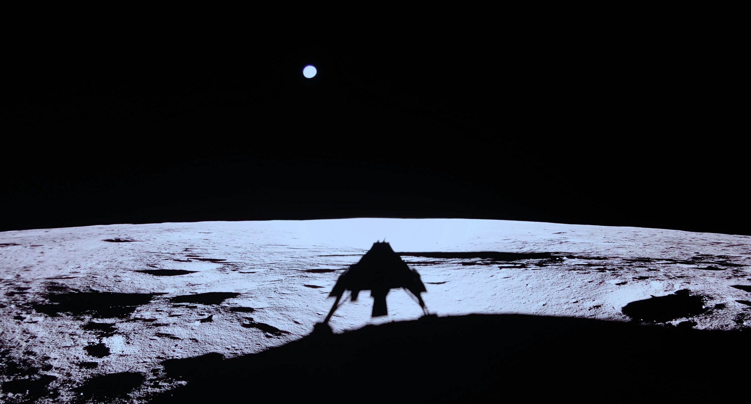
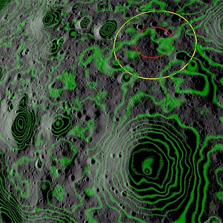
Terrain Relative Navigation
Precisely determined the position and attitude of Blue Ghost by comparing images from the navigation cameras to simulated lunar imagery rendered onboard the spacecraft in real time.
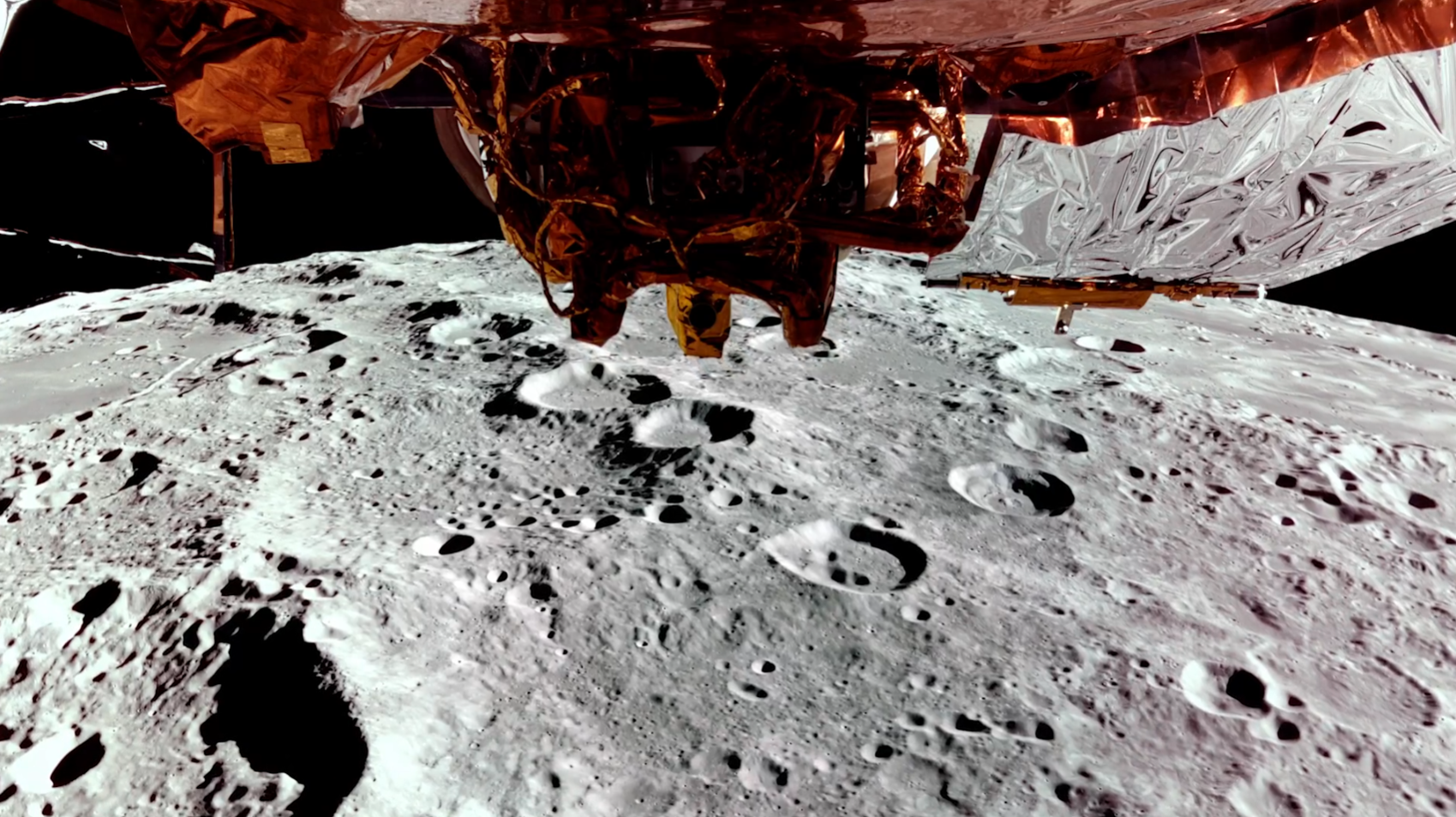
Hazard Avoidance Software
Detected previously uncharted lunar hazards (craters, rocks, and slopes) and executed two hazard avoidance maneuvers during Blue Ghost's descent.
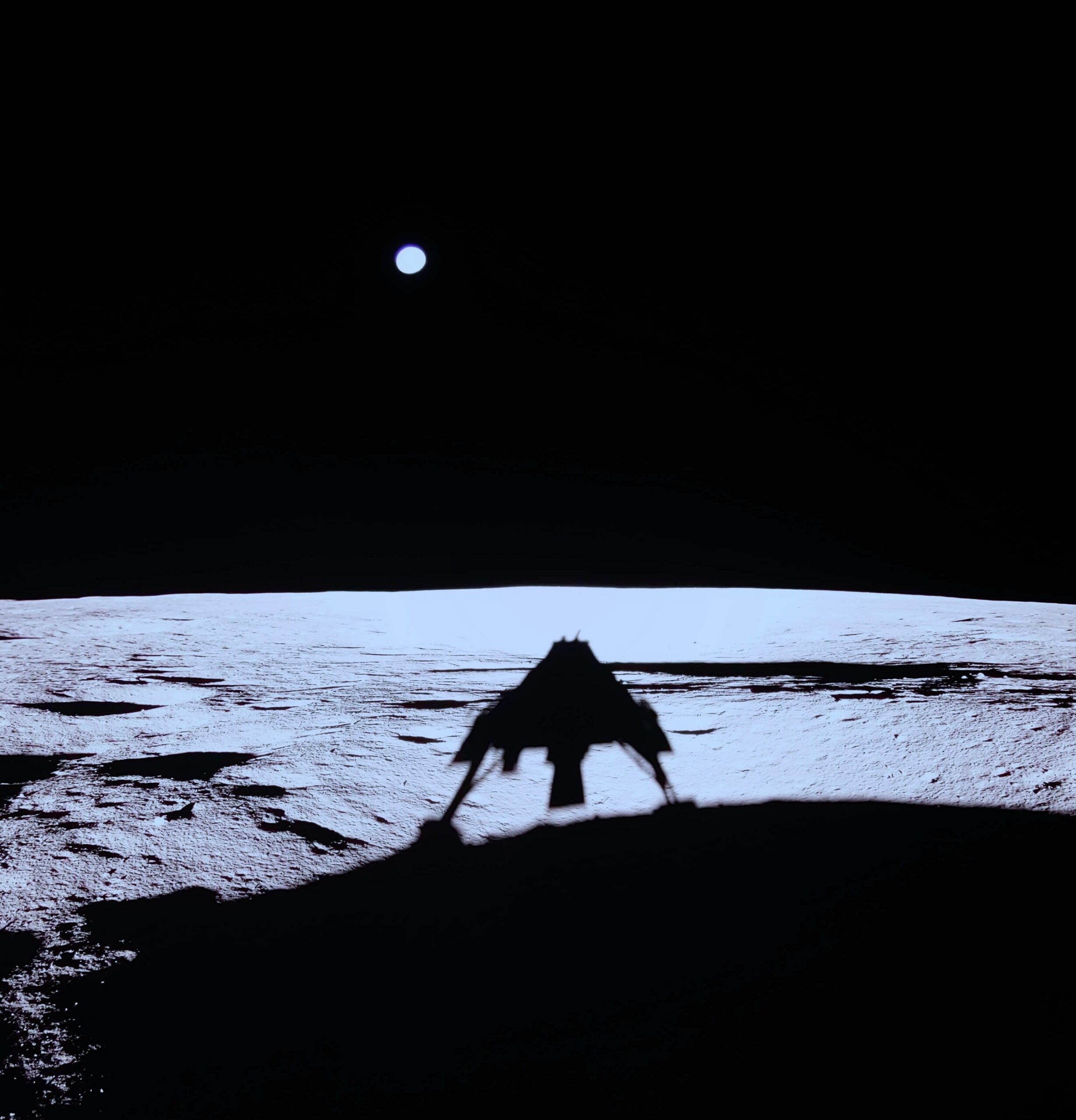
Autonomous Lunar Descent
Autonomously redirected Blue Ghost to a safe landing site in Mare Crisium and enabled a precise lunar touchdown for the first time in commercial space history.